
A new community
taking shape in Melton East.
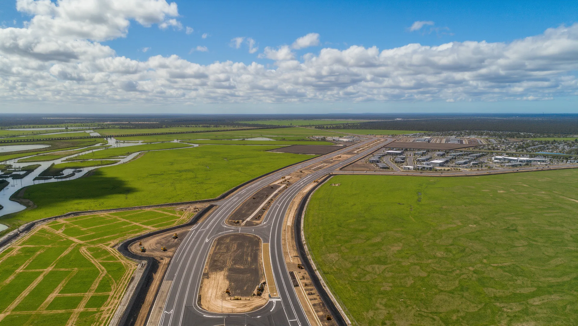
Around 12,000 new homes, two neighbourhood activity centres, seven school sites, parklands and a connected open space network across 1,005 hectares, approximately 40km north-west of Melbourne CBD.
Artist's impression — indicative only.
Get to know Melton East.
A fast overview of location, future plans, transport, lifestyle, schools and the local market — all in one place, all independent.
Where Melton East sits & how you get there.
The estates and land releases building here.
The VPA precinct plan, at a glance.
Rail, freeway and future road upgrades.
Parks, retail, recreation, family design.
Reserved sites & nearby existing schools.
A precinct designed for the long term.
Melton East is a Victorian Planning Authority growth precinct in Melbourne's west. The Precinct Structure Plan was approved by the Minister for Planning on 21 August 2026 and gazetted on 4 September 2026 under Amendment C244melt, setting the shape of the community, its activity centres, schools, roads and open space for the decades ahead.
- Local government
- City of Melton
- Planning reference
- VPA PSP 1076
- Precinct area
- 1,005 hectares
- Dwelling capacity
- ~12,000 homes
- Future residents
- 36,000+
- Distance to CBD
- ~40km
- Status
- Approved, gazetted 4 September 2026
Community, green space and everyday convenience.
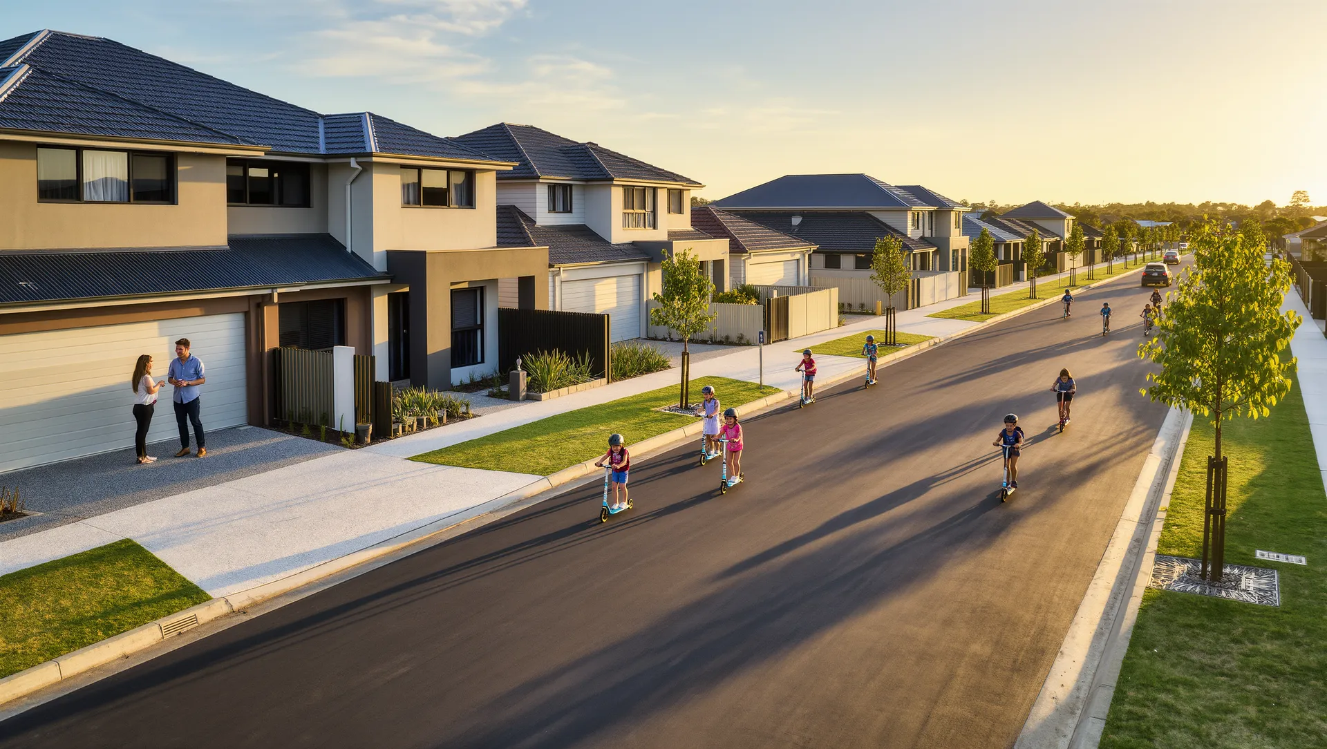
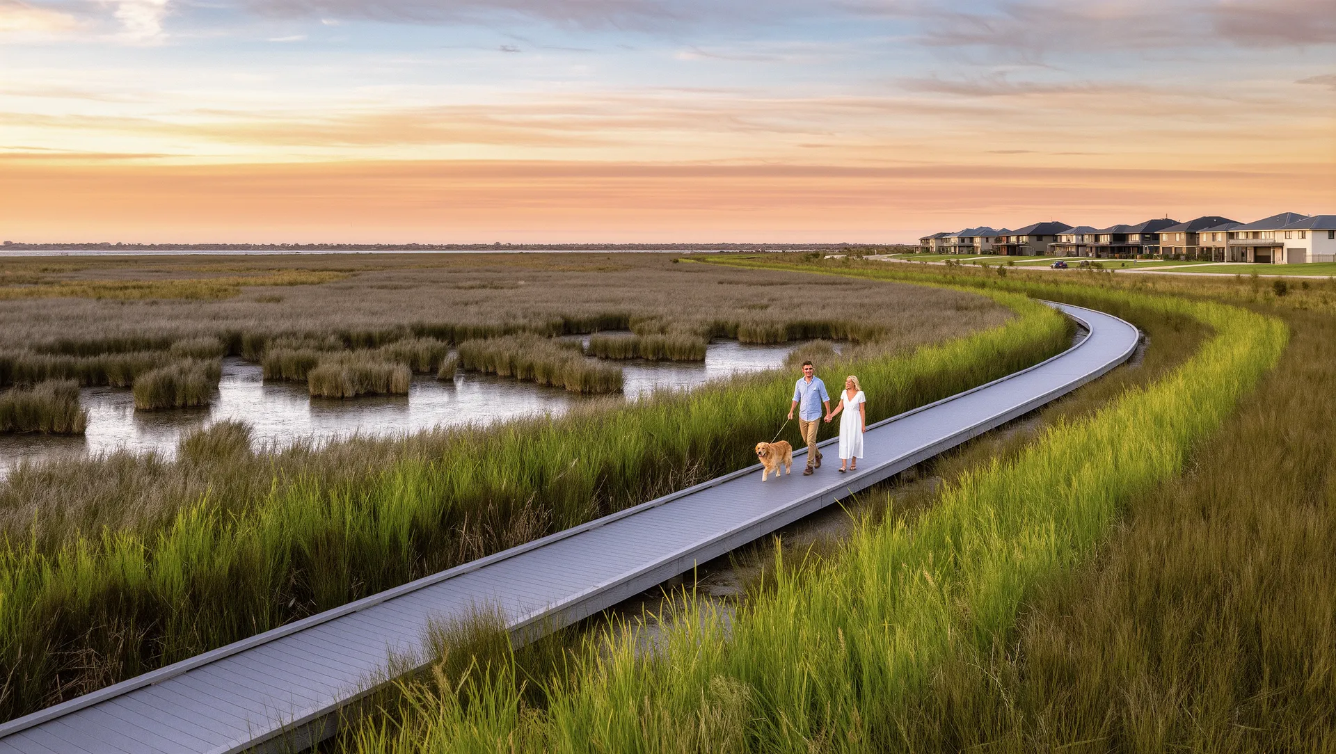
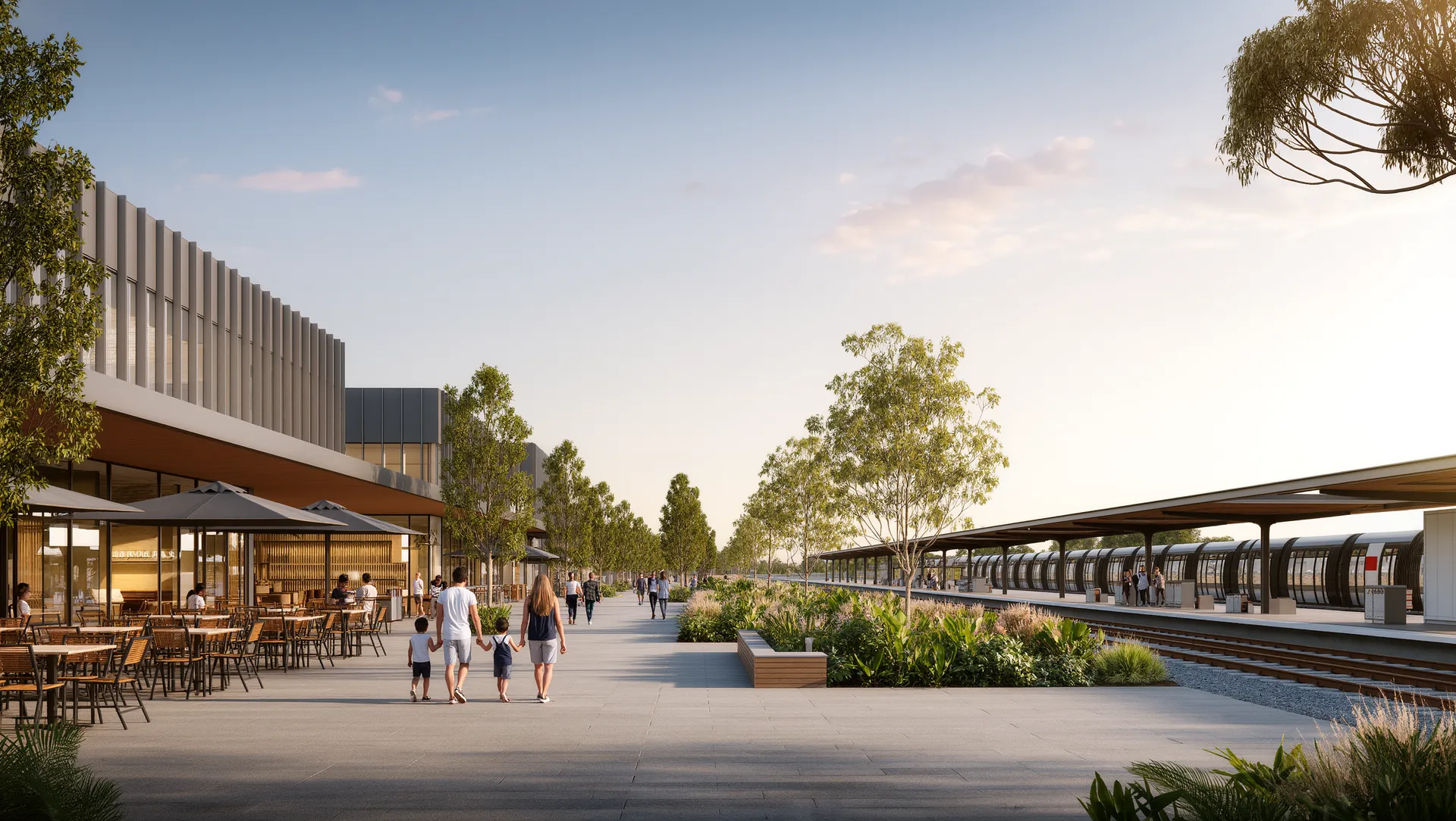
Artist's impression — indicative only.