
Where Melton East sits.
Melton East is an approved growth precinct of 1,005 hectares in the City of Melton, approximately 40km north-west of Melbourne's CBD, connecting into Melbourne's western growth corridor.
The precinct is bounded by Kororoit Creek to the north east, the Western Freeway to the south, Leakes Road to the east and the Melton Highway to the north west. Most of the land sits in the suburb of Grangefields, with western parcels in Melton and a few eastern parcels in Rockbank.
- Local government
- City of Melton
- Planning reference
- VPA PSP 1076
- Status
- Approved, gazetted 4 September 2026
See exactly where Melton East sits.
One map, three boundaries. Switch on the VPA precinct boundary, the suburb of Cobblebank and City of Melton, then add nearby schools, shops, transport and parks.
- Precinct area (VPA)
- Loading
- Suburb of Cobblebank area (ABS, km2)
- Loading
- City of Melton area (ABS, km2)
- Loading
How connected is it?
Approximate driving distances from the Melton East precinct.
- Melbourne CBD~42 km
- Melbourne Airport~31 km
- Cobblebank Station~6 km
- Melton town centre~6 km
Approximate road distances calculated from the precinct centre using OpenStreetMap routing on 14 September 2026. The exact distance varies by starting point and route.
- Kororoit Creek to the north east
- Western Freeway to the south
- Leakes Road to the east
- Melton Highway to the north west
Precinct boundary and planned land use: Victorian Planning Authority, VPA Precinct Boundaries and Future Urban Structure datasets (CC BY 4.0). Suburb and council boundaries: Australian Bureau of Statistics, ASGS Edition 3 (CC BY 4.0). School locations: Victorian Department of Education, School Locations 2025 (CC BY 4.0). Nearby places © OpenStreetMap contributors (ODbL), snapshot taken at build time. Base map © OpenStreetMap; imagery © Esri and partners. Boundaries and places are indicative, for orientation only. Confirm details with the VPA, the council and the school or business concerned. Listed distances are approximate road distances from the precinct centre.
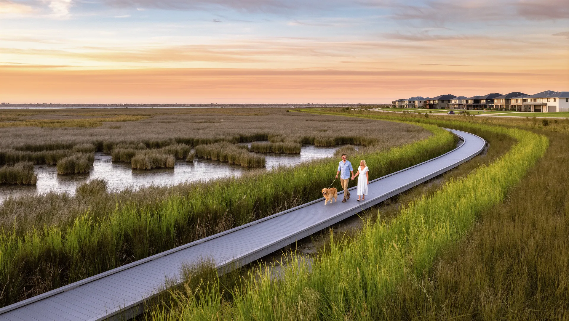
Artist's impression — indicative only.
Anchored by creek corridors and open space.
The precinct plan is built around a connected network of open space, creek corridors and conservation areas — a green spine linking neighbourhoods to the town centre and future schools.